

AMCS Field Services
4,7
(15 avis)
AMCS Field Services est une solution de gestion de la maintenance basée sur le cloud qui aide les entreprises à gérer...
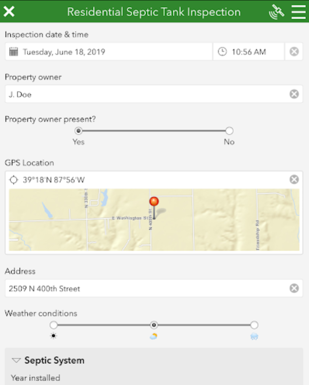
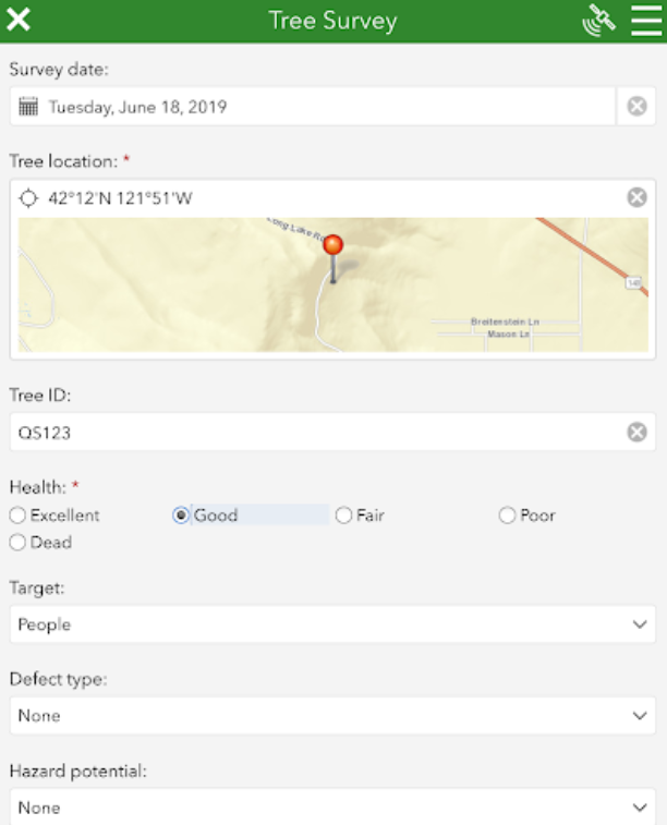
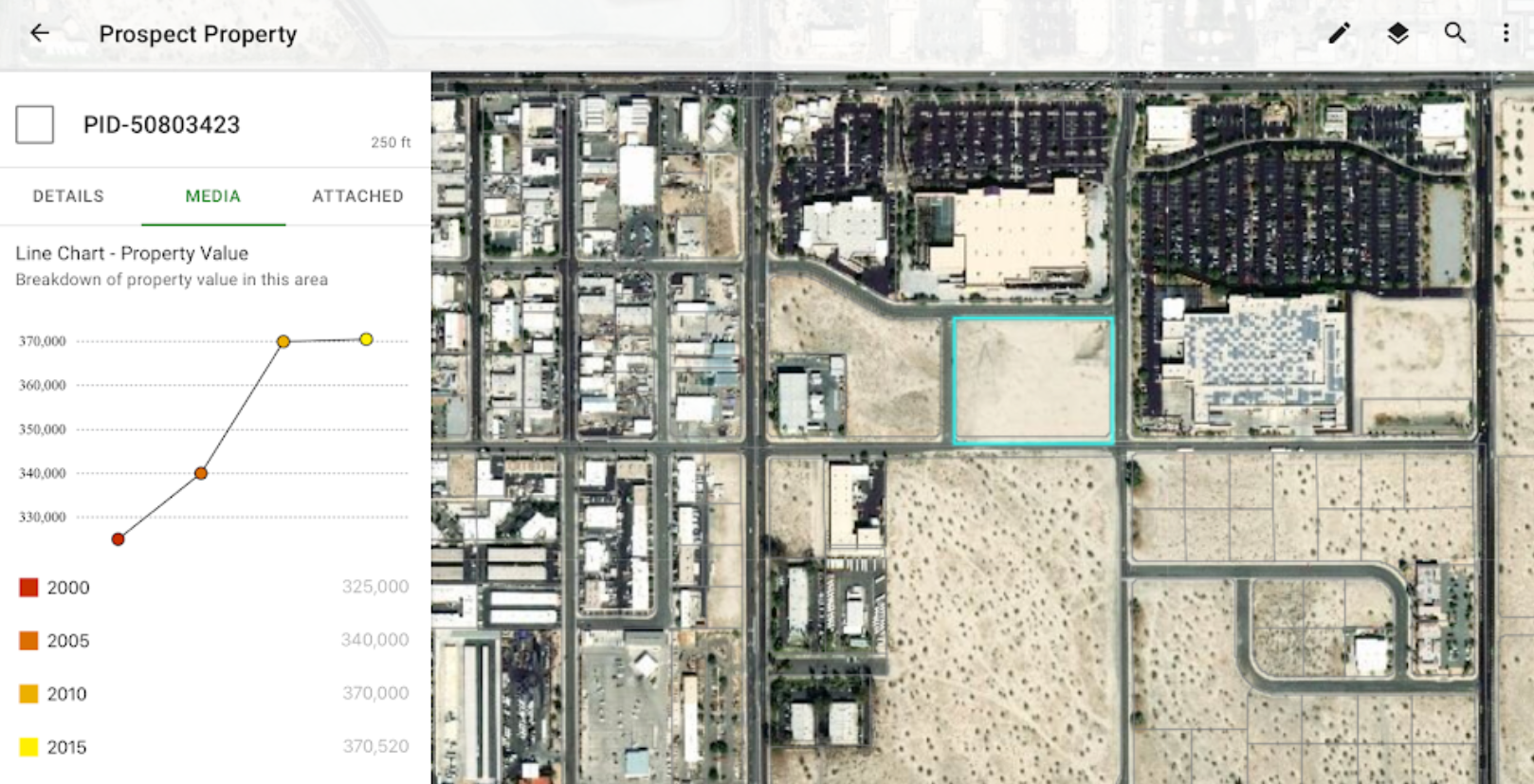
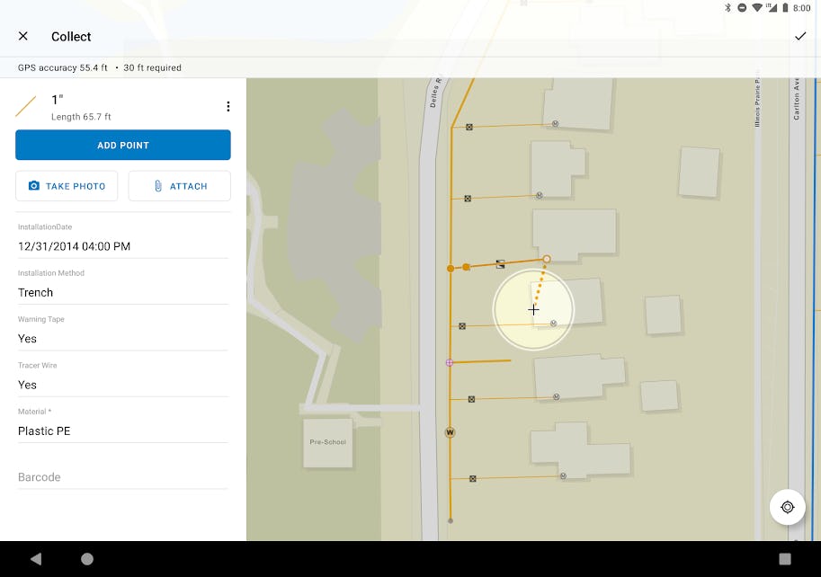


ArcGIS est disponible en version gratuite et propose un essai gratuit.


Un combiné de plusieurs fonctionnalités exceptionnelles
Impossibilité d'avoir les données en temps
Très bon pour la creation et des bases de données sur la geographie
Souvent des erreurs sur certains données selon le territoire
Bon puisqu'il fait plusieurs choses à la fois, il a plusieurs fonctionnalités. C'est un bon logiciel à utiliser, surtout quand tu n'as pas assez de moyen. C'est un logiciel faire tout
La fluidité et ses interfaces. Plusieurs fonctionnalités et la bonne qualité des images
Revoir un peu le temps de démarrage, et le reste est bon
A travers ArcGIS, j'ai pu concevoir des cartes dans le cadre de mes recherches. A base de cet outil on peut concevoir toutes les cartes possibles. C'est un outil puissant pour la planification.
Je pense que toutes les fonctionnalités du logiciel ont un impact significatif sur le produit. C'est une application dont le monde ne peut s'en passer aujourd'hui. Il est très utile pour tous les domaine. C'est un outil d'aide à la décision
Le logiciel pèse et ralenti parfois sur les machines non performantes
très satisfaite de mon utilisation, et je recommande à 100 % ce logiciel à le maîtriser
J'ai fait une formation en 2012 pour apprendre les SIG, et j'ai commencé par Mapinfo, après ARC GIS avec les différents extension notamment, ARCMAP, ARC CATALOGUE.
j'ai étudie l'aménagement du territoire et la cartographie, donc les logiciels de cartographie sont indispensable pour mes études et mes recherches en doctorat. Depuis plusieurs années, j'utilise ARC GIS pour faire mes cartes topographiques et je le recommande à 100% ce logiciel, il vous permet de collecter, stocker, archiver, analyser et afficher vos données sous forme des cartes ou plan très professionnelle
Je travaille comme enseignante, et j'enseigne les SIG et ses applications dans le traitement des données, et je conseille toujours les étudiants à approfondir leurs utilisation et connaissances dans les SIG en particulier ARC GIS.
le logiciel est très utilisé par les géographes, les bureaux d'études et les architectes à grande échelle.
Je ne peux pas dire quelque chose de faible dans ce logiciel, parce que j'étais jamais déçus de mon utilisation depuis plusieurs années. je le considère comme un POWER logiciel
Il permet d'obtenir des informations sur un lieu en particulier avec un fort taux de précision. Des valeurs statistiques, démographiques et hydrologiques peuvent êtres ressorties, vraiment intéressants.
La prise en main du logiciel n'est vraiment pas facile.
Hydrologie, géostatistique, cartographie, La polyvalence d'ArcGIS est sans doute ce qui m'a le plus marqué dans ce logiciel.
Le rendu des cartes et la qualité des mises en page sont sans doute ce qui manque à ce logiciel.
Analyses de carte des régions agricoles ce qui permet de comparer aussi avec plusieurs années, la répartition des cultures sur un territoire, les données topologique et géologique, ainsi que le calcul des pentes rapidement.
L'immense diversité de choix, on peux créer toute sorte de carte, analyser aussi toutes les cartes rapidement et facilement mais cependant avec de l'entrainement
le logiciel est complet voir même très complexe, et on peux se retrouver vite bloquer si on ne pratique pas assez souvent
super logiciel pour les travaux de SIG, il n'a pas de remplaçant
il est un peu voluminous puor cella il à besoin des pc de haut gamme
Cet outil me permet de collecter, organiser, analyser et partager des données géospatiales. Cet outil peut être utilisé dans une grande variété de secteurs et d'applications.
Une interface peu moderne et une prise en main au démarrage difficile
Permet de faire de belles cartes sans trop de difficultés
le logiciel n’est pas particulièrement ergonomique
The tools (especially geoprocessing tools) provide options to users when developing an interactive map.
The filling system is not user-friendly.
Exceptional
Wonderful interface, speed and ease of usage, useful and we'll designed tools. A strong userbase and Community resources.
Supports windows only. If the desktop platform made available to Linux OS users it can be more reachable to world.
Overall, it’s a robust tool for mapping and data analysis.
ArcGIS is a strong tool to visualizing and analize spatial information
The software can be quite expensive for small teams.
It makes the start of very pretty maps, sometimes. I almost always generate base layers here, and then export them into illustrator/photoshop to do actual final renders.
The styling guides are better than any other options out there - once you can learn to navigate the byzantine menus. I've used QGIS, Globalmapper, AutoCad, and Microstation, and maps just look better in ArcMap than in any others -it's made for creating display mapping. I know that there are other programmatic things you can do, but for my workflow, I use it almost exclusively for building maps for display.
The menus are silly that you have to go that far down a rabbit hole, processing is a nightmare (especially with messy geometry), and I used to (until I quit trying altogether) find myself trying a processing task in ArcMap, watching it fail, and then trying it again in GlobalMapper/QGIS and it would do fine. Processing is a very weak point in ArcMap, at least from my perspective.
Massive range of different mapping and analytical tools suitable for a wide range of abilities
Can be a very steep learning curve when using ArcGIS Pro (the desktop app)
In general, it is a nice software that has helped me a lot in my job as an oceanographer. I can visualize or create geometries that can help me analyze coastal features, like the beaches that experience the greatest waves, or the number rivers in any area, or the kind of sediment of the beaches.
In general, it's pretty easy to use. One of the things I like the most, is that it's really easy to edit features, something that may be tedious with other open-source software.
I need to buy a license to use certain tools. Also, it's common to experience lags when using raster data. Besides, customer support is not the best quality for this product.
Nothing comes as close to providing a complete feature set as ArcGIS. Yes there may be other commercial providers, but they are usually targeted at specific sectors. ArcGIS can literally accomplish it all
This is industry standard, vast in scope, and can do pretty much anything in the geospatial space. Don't underestimate how complex the underpinning logic is, however it manages to present relatively complex data manipulation in a relatively easy package targeted at expert of lay person alike.
Primarily cost - to achieve a "full" license with a spectrum of functionality will have a significant cost base. You get what you pay for and while there are open source alternatives, they don't present such a complete and compelling package.
It is useful for editing a map of anything you need. You can also create your own featured map with layers. Also, you can download files online to use.
Implementing layers and maps from online resources is user-friendly.
ArcGIS software works slowly in Windows. Especially, when a map is loaded it takes time to zoom in or out.
When you see the results of your work after completion, you will realize that it was worth every minute you worked on it
What I really liked most about this program is its great ability to carry out tremendous tasks in a completely professional manner, which makes you literally dispense with other programs.
What bothers me most about it is that it requires specific specifications in order for it to work perfectly, but it must be said that it works on moderately efficient devices, and it sometimes has some problems while working, which can lead to the program stopping on its own and restarting it again.
With additional modules, there is nothing you cannot do in GIS.
It's a pity that the desktop version stays on x86. For x64 the pro version is mandatory, it is very different.
ArcGIS enables me to leverage location-based data to gain valuable insights into my business operations. By visualizing my data on maps, i can identify spatial patterns, trends, and relationships that can inform strategic decisions and improve efficiency.
ArcGIS provides a comprehensive suite of tools and functionalities for managing, analyzing, and visualizing geospatial data. It offers a robust and versatile platform that caters to the needs of various industries and sectors
ArcGIS is a commercial software that comes with licensing fees, which can be a barrier for individuals or organizations with limited budgets. The cost of acquiring and maintaining ArcGIS licenses can be a challenge, particularly for smaller or non-profit entities.
had done project in excel but the map I needed was not very accurate, had to redo in arcGIS, had never used before. had a colleague assist since I had to learn it in a few days
user interface isnt very intuitive for someone who has never used a program like this before
Very important application in computers of master and doctoral student , and Environmental researchers
Resolution of produced maps especially in Climate changes
Flexible to options access and do not need a lot experience
ArcGIS is a powerful and comprehensive GIS software that can handle various types of data and analysis. However, it may not be suitable for everyone due to its high cost, steep learning curve, and hardware requirements.
It is a great tool for GIS. Some advantages are like-1. Comprehensive and versatile GIS software that can handle various types of data and analysis.2. Provides a wide range of tools and features for mapping, geocoding, spatial analysis, and data visualization.3. Offers various extensions and plugins for specialized workflows and functions.4. Supports interoperability with other GIS and data formats, making it easier to integrate with other systems.5. Offers robust online and mobile capabilities for sharing and collaborating on geospatial data.
Expensive and may require a significant investment for licensing and training. Steep learning curve for beginners, especially those with limited GIS experience